

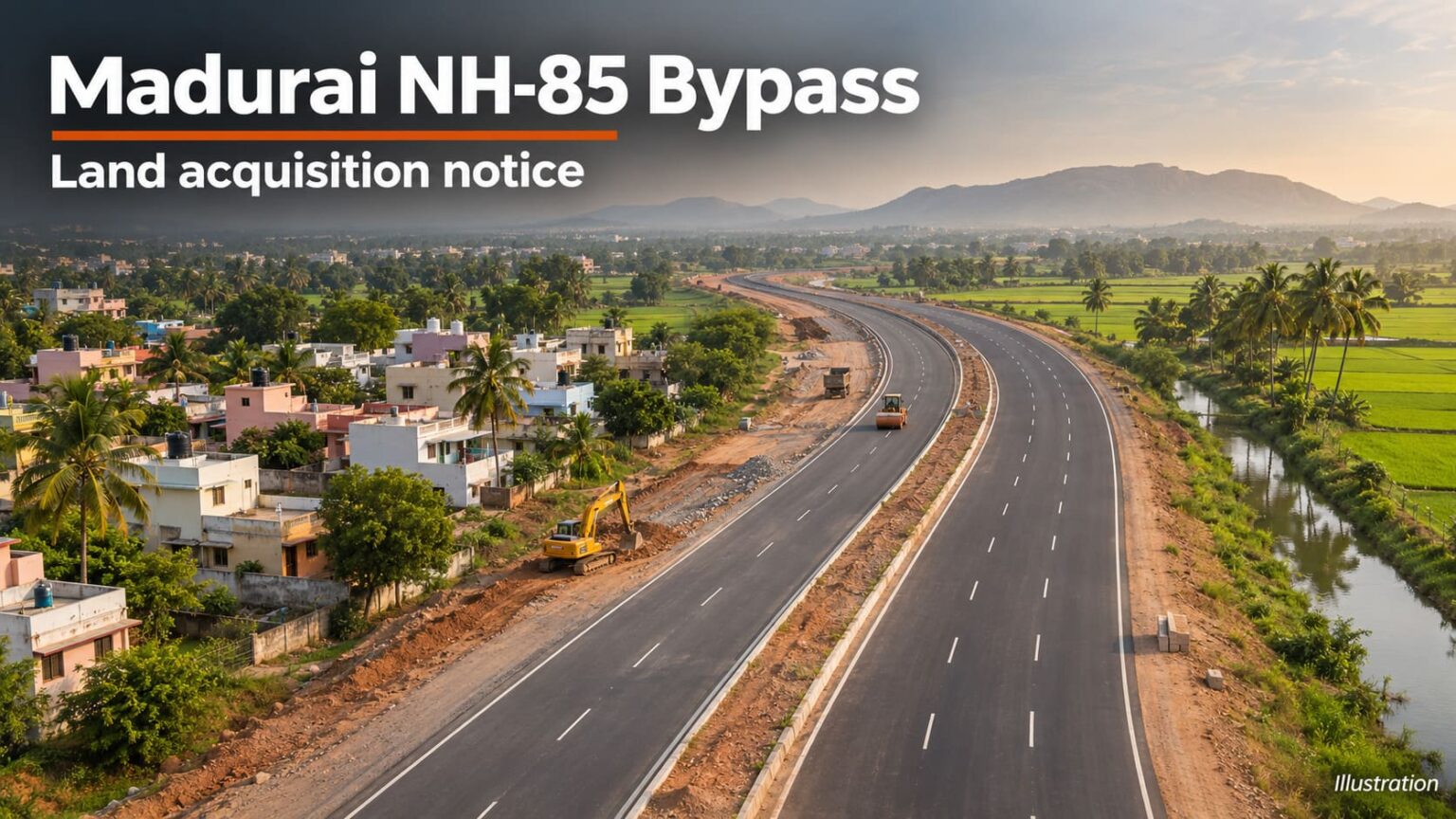
The Centre has proposed acquiring 4,282.5 sq m of land, about 1.06 acres, for the Atchampathu–Viratipathu bypass in Madurai. The Gazette notice, published on 3 November 2026, lists 44 survey and plot entries in Madurai West taluk along km 6.6 to km 10.4 of NH‑85, formerly NH‑49 Extension.
Which villages are covered?
| Village | Entries | Area listed | Land covered |
|---|---|---|---|
| Kochadai | 13 | 1,451 sq m | Private residential plots |
| Kokkulappi | 18 | 432.5 sq m | Residential plots, a government canal and a public footpath |
| Vadivelkarai | 1 | 75 sq m | Wet agricultural land in survey no. 8/14B |
| Vilacheri (CT) | 12 | 2,324 sq m | Agricultural land, dry non-agricultural land and a government canal |
| Total | 44 | 4,282.5 sq m |
What should landowners check?
The November notice is a Section 3A proposal under the National Highways Act, 1956. If your survey or plot number appears, check the area listed against it and inspect the land plan at the office of the Special District Revenue Officer for National Highway Land Acquisition, Madurai. Some entries cover as little as 2.5 sq m, so the land plan matters when checking exactly which part of your property is affected.
Anyone with an interest in the listed land has 21 days from Gazette publication to submit a written objection to that office under Section 3C. The objection must state the grounds, and the authority must give the objector an opportunity to be heard.
Where does the bypass connect?
The 3.53 km, four-lane bypass starts near Virattipathu, beyond the Kochadai grade separator, and rejoins NH‑85 near Nagamalai Pudukottai. It is designed to divert Madurai–Theni through traffic away from the existing road through Virattipathu and Atchampathu. A separate 6 July 2026 declaration completed the acquisition stage under Section 3D for land listed in Erkudi, Sambakudi and Vilacheri.