

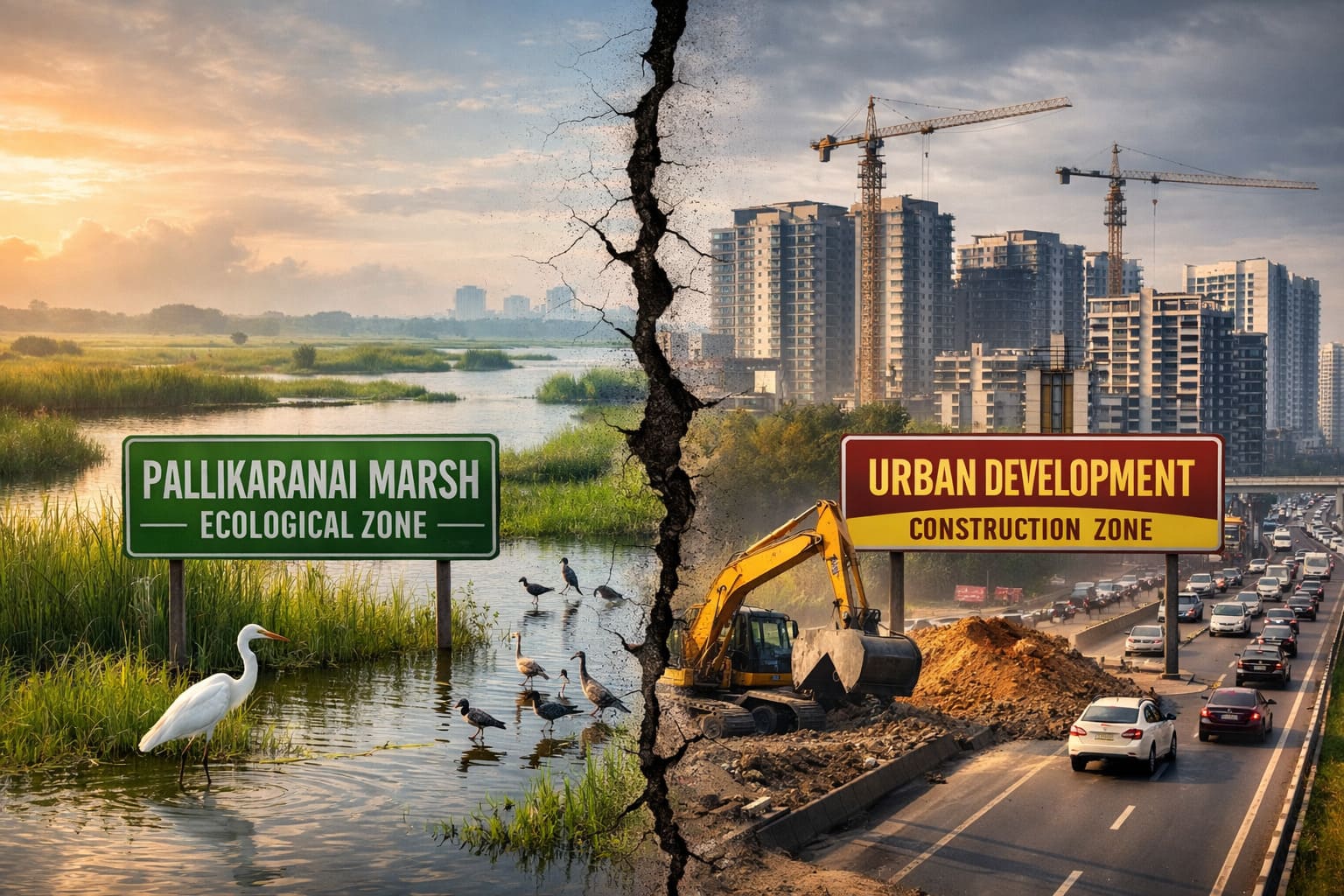
Construction Ban Near Pallikaranai Marsh Faces Legal Challenge
A major legal development has emerged in Chennai’s real estate sector as the Confederation of Real Estate Developers’ Associations of India (CREDAI) has approached the Madras High Court challenging a construction restriction imposed around the Pallikaranai Marsh.
The restriction originated from an order issued by the National Green Tribunal which directed authorities to avoid granting construction approvals within a one-kilometre zone of influence around the marshland. This decision has triggered a legal debate between environmental protection and urban development in Chennai.
Why the Construction Restriction Was Imposed
The Pallikaranai marsh is one of the largest remaining wetlands in South Chennai and has been recognised internationally as a Ramsar site, highlighting its ecological importance.
Environmental concerns have been growing for years due to:
- rapid urban expansion
- landfill dumping and infrastructure pressure
- reduction of natural wetland area
- increasing flood risks in surrounding neighbourhoods
Taking these factors into account, the tribunal issued directions intended to protect the fragile wetland ecosystem and prevent further environmental degradation.
Construction approvals near the Pallikaranai Marsh have been frozen due to the above mentioned environmental concerns in around 304 survey numbers across seven villages that fall within the affected zone, where building permissions have been halted within a 1-km buffer area.
👉 To get further insight, read the full article:
https://community.verified.realestate/article/pallikaranai-marshland-freeze-timeline-villages-and-survey-numbers-affected-by-tamil-nadus-construction-ban/
CREDAI’s Argument in the High Court
CREDAI has challenged the restriction before the Madras High Court, arguing that the one-kilometre construction ban was imposed without sufficient scientific study or stakeholder consultation.
According to the developers’ association:
- The buffer distance was not determined through detailed environmental impact assessment.
- The order has effectively created a complete construction ban across several urban areas.
- Planning regulations should normally be decided by statutory authorities such as the Chennai Metropolitan Development Authority rather than through tribunal directives.
At the same time, the association clarified that its petition does not oppose the protection of the Pallikaranai marsh itself, but only questions the method used to impose the restriction.
Land and Infrastructure Affected
The restriction has reportedly affected thousands of acres of land across the southern Chennai region.
Areas within the one-kilometre influence zone include:
- parts of Velachery
- Medavakkam
- Perungudi
- sections of the Old Mahabalipuram Road (OMR) IT corridor
These regions already contain:
- residential layouts
- IT parks and office spaces
- transport infrastructure
- government facilities
Developers claim the restriction has temporarily stalled several development approvals and projects in these areas.
What the High Court Has Done
The Madras High Court has admitted the petition and issued notices to relevant authorities, including:
- Tamil Nadu Government
- CMDA
- Forest and Environment Departments
The court has requested these authorities to submit their responses before the next stage of the hearing, after which the legality of the restriction will be examined further.
Why This Case Matters for Chennai Real Estate
The outcome of this case could significantly influence urban planning policies and environmental protection rules in Chennai.
It may determine:
- how buffer zones around wetlands are defined
- whether blanket development restrictions can be imposed without scientific studies
- how planning authorities balance ecological protection with urban growth
Aquifer Zone Check
Before purchasing or developing land near environmentally sensitive areas, it is important to verify whether the property falls within a protected groundwater recharge area. The Aquifer Zone Check in Verified.Realestate allows users to click on a map and instantly see whether a location lies inside, near, or outside an aquifer protection zone. Properties located in these zones may be subject to specific development rules to protect groundwater resources and ensure sustainable urban planning