


Understanding the Forgotten Land Number System of Tamil Nadu
If you’ve ever come across the word “Paimash” in an ancestral land deed, you’ve uncovered a piece of Tamil Nadu’s early land-survey history.
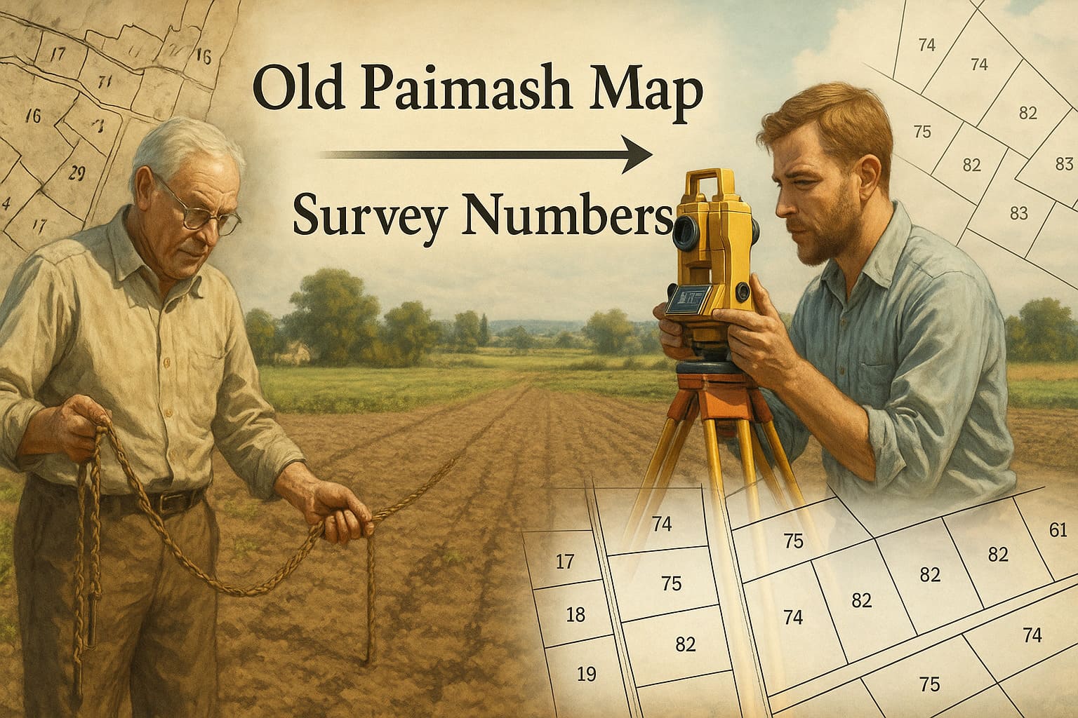
The word “Paimash” is believed to be derived from Persian, meaning “measurement.” It refers to the numbering system used before the modern Survey Number method was introduced during the state’s Settlement Operations.
📜 What Was a Paimash Number?
Long before digital mapping and trigonometric surveying, Tamil Nadu’s lands were measured through square-based divisions, each parcel receiving a Paimash Number to mark its ownership and extent. Think of Paimash as the pre-digital “address” for agricultural land, maintained in handwritten registers long before satellite maps, GIS tools, or even the standardized field measurement books we rely on today.
This system existed during the pre-settlement era, when local measurers (called Karnams or Amins) used basic chains and rods to mark boundaries. In Tamil Nadu’s revenue history, it referred to an early cadastral numbering system used to identify land parcels before the modern Survey Number system was introduced.
How Land Was Recorded in the Paimash Era
During that period, land measurement relied on:
Chain-based field measurements
Local measurers (Amins) who carried out the physical survey
Village accountants (Karnam / Kanakku-pillai) who maintained records and confirmed boundaries
Plots were measured into square based grids, as historical practice seems to suggest. Each parcel received a Paimash number based on its measured extent and recognized boundaries. These entries formed the backbone of local land ownership records.
🧭 How Paimash Numbers Were Converted to Survey Numbers
During the Resurvey and Settlement Operations undertaken by the Tamil Nadu Survey and Settlement Department in the mid-20th century, every village went through a detailed process:
- Old Paimash Registers and Village Maps were collected from local revenue offices.
- Physical verification was carried out by resurvey teams to confirm plot size, boundaries, and usage.
- Each old Paimash plot was assigned a new Survey Number based on its verified extent, and thus standardized the Field Measurement Books (FMB), Resurvey- based village maps and A-Registers.
- The conversion data was recorded in a Correlation Register — a master reference showing both numbers side-by-side.
This ensured that even if a document still mentions the Paimash Number, it can be directly traced to its corresponding modern Survey Number through official correlation.
📘 Tamil Nadu Survey & Settlement Manual
The Tamil Nadu Survey and Settlement Manual, issued by the Commissioner of Survey and Settlement, documents this conversion procedure in detail.
It describes:
- The objectives of standardizing field measurement across districts.
- The methodology used for resurvey and correlation.
- The legal framework under which Survey Numbers replaced Paimash Numbers.
Copies of this manual are available in District Survey Offices and the Tamil Nadu Archives, Egmore, for public reference.
⚠️ Why This Matters for Land Buyers
Many older title deeds, partition documents, and legal records still mention Paimash numbers. While they are no longer used in current revenue systems, they still hold weight in tracing ownership and maintaining title continuity.
Before buying or verifying ancestral lands:
- Confirm that the Paimash Number matches the current Survey Number.
- Request the Correlation Register extract from the Taluk Office.
- Check FMB and A-Register entry Taluk E-Sevai / Revenue office.
- Confirm title continuity Encumbrance Certificate + legal review
- Verify the land classification @ verify my land
For complete verification, professional services like Verified.RealEstate’s Due Diligence Tool can help confirm title continuity and prevent disputes.
—