

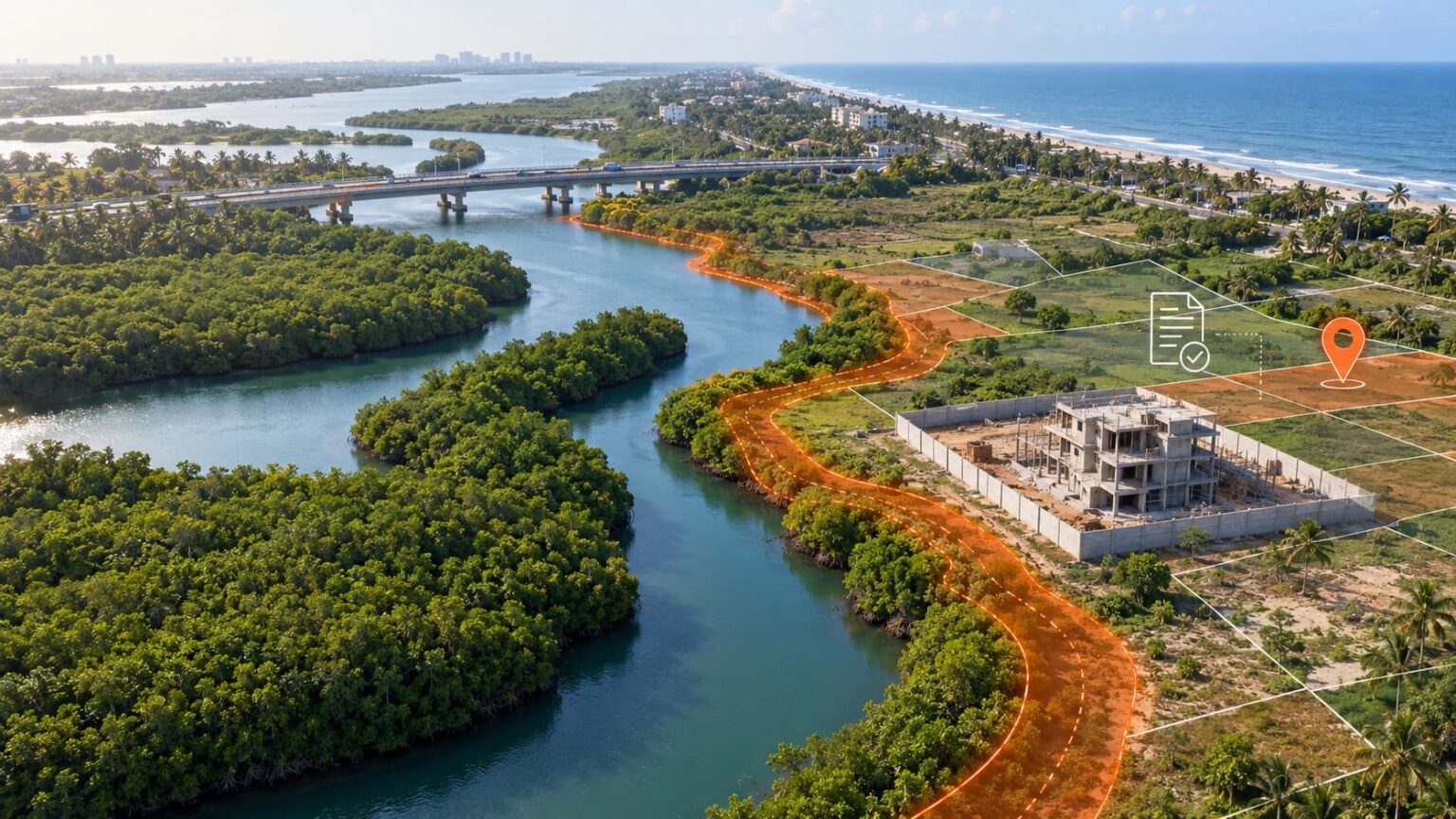
Purchasing a plot along the East Coast Road (ECR) may feel like securing a slice of coastal paradise, but owning the title deed is only the beginning. Coastal properties are subject to scrutiny by the relevant regulatory authorities, particularly when they fall within the CRZ-I zone, which includes ecologically sensitive areas such as mangrove forests.
What happened?
Since 2023, the Forest Department has planted mangroves across more than one hectare along both sides of Kovalam Creek, following the removal of seemai karuvelam from the area. The plantation covers parts of Kundrukadu and Muttukadu, near the Muttukadu bridge.
Around the same period, questions were raised about a building being constructed along one side of the creek. Its compound wall appeared to be just a few metres away from the mangroves. Across the creek, another wall was reportedly in direct contact with, or extremely close to, the mangrove plantation.
Chengalpattu District Forest Officer Girish Haribhau said that a Forest Department team would inspect the site and first verify ownership through Revenue Department records.
Chengalpattu Collector M. Veerappan explained that land adjoining the creek includes a mix of poramboke land, CRZ-designated areas and patta land. He added that officials must determine the classification of the specific parcel on which construction is taking place before deciding what action, if any, should be taken.
Why the Mangrove Area Matters
Tamil Nadu currently follows the CRZ Notification, 2011, pending approval of its revised coastal maps under the 2019 notification.
Under the 2011 rules, CRZ coverage generally includes:
- Land from the High Tide Line up to 500 metres on the landward side along the seafront.
- Along tidal-influenced creeks and other connected waterbodies, land from the High Tide Line up to 100 metres or the width of the creek, whichever is less.
The reported plantation covers more than one hectare—over 10,000 square metres. However, this does not automatically prove that the reported construction falls within the mangrove boundary or its CRZ buffer. Officials must compare the actual site with the approved CRZ map and revenue survey records.
Why a Patta Alone Is Not Enough
A patta is an important revenue record, but it does not automatically provide:
- Conclusive title
- Residential land-use permission
- Layout or building approval
- CRZ clearance
- Protection from waterbody or poramboke overlap
- Confirmation of the physical boundary
Even planning permission does not conclusively establish ownership. Buyers must independently examine the title documents, parent deeds, Encumbrance Certificate and survey records.
This risk is higher near Kovalam Creek because neighbouring parcels can have completely different classifications. One may be patta land, while the next may fall within CRZ, a creek boundary or government poramboke land.
Inspection Still Pending
No authority has yet publicly declared that the reported building violates CRZ rules or occupies government land.
The Forest Department and Revenue Department must first inspect the property and identify its exact survey number, ownership, boundary and CRZ classification.
This verification is important because satellite images, local complaints or visible construction alone cannot conclusively establish a legal violation. The authorities would also need to compare the site with official land records, approved plans and applicable CRZ maps before taking any enforcement action.
Check Whether Your Property Falls in a CRZ Warning Zone
Buyers and landowners can use Verified.RealEstate’s CRZ Zone Check to locate a property and see whether it falls within or close to a mapped CRZ warning zone. This quick preliminary check can identify possible coastal restrictions before purchasing land, applying for approval or starting construction.
If the property is flagged, its survey number must be verified against the approved Coastal Zone Management Plan, High Tide Line, mangrove buffer and official revenue records. The tool provides an initial risk warning—it is not a CRZ clearance, title certificate or building approval.
Get Deeper Coastal-Land Insights with LandLens One
For a more detailed property check, buyers and landowners can use Verified.RealEstate LandLens One with a single click. This interactive map brings together important property indicators and warning layers, helping users identify CRZ exposure and other potential concerns affecting coastal land in a single view. All you need to do is enter the property address or survey number.
Users can also ask Veritas, Verified.RealEstate’s intelligent property assistant, specific questions about the land. Veritas retrieves the available property information relevant to the question and highlights possible risks requiring further verification. When information is unavailable online or requires professional interpretation, it guides the user towards offline assistance from Verified.RealEstate’s experienced legal and real-estate team.
LandLens One provides advanced preliminary property intelligence. Its findings should be confirmed using official records, approved CRZ maps, surveys and professional legal due diligence before purchasing or developing the land.
Disclaimer: This article is based on available government information. The inspection is pending at the time of this publication. This article does not determine the legality, ownership or CRZ status of any particular property.