


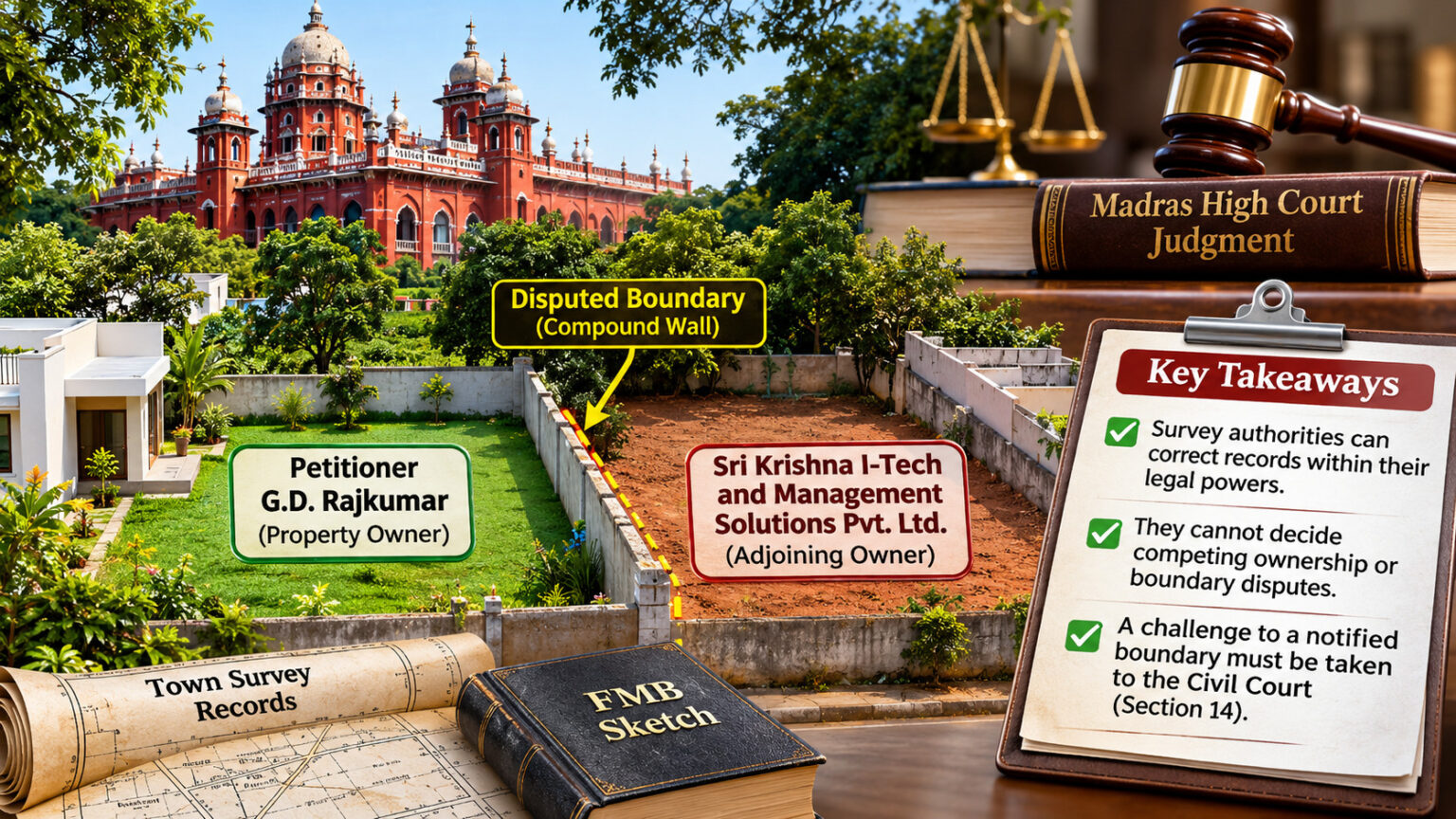
A survey correction is not always a simple administrative exercise. When an officially notified boundary is disputed, the powers of survey and revenue authorities have legal limits.
Introduction
Survey measurements, Field Measurement Books (FMB), Town Survey records and property boundaries play an important role in real estate transactions. But what happens when a survey measurement is changed and an adjoining property owner challenges that correction?
In an important judgment, the Madras High Court explained the limits of administrative authorities in dealing with disputes involving officially notified property boundaries.
The Case: G.D. Rajkumar vs. Director of Survey and Land Records
Case No.: W.P. No. 16216 of 2019
Court: Madras High Court
Judge: Justice N. Anand Venkatesh
Judgment Date: 17 March 2020
The dispute concerned properties in Krishnarayapuram Village, Coimbatore North Taluk. G.D. Rajkumar, the petitioner, claimed ownership of one of the properties, while Sri Krishna I-Tech and Management Solutions Pvt. Ltd., claimed rights over the adjoining property. The company disputed the boundary between the properties, particularly the compound wall on the eastern side.
- Property 1 : From 21 metres to 20 metres.
- Property 2 : 1054/2: From 68.1 metres to 69.1 metres.
The fifth respondent, Sri Krishna I-Tech and Management Solutions Pvt. Ltd., claimed that the original measurements contained a conversion error. It relied on historical property documents mentioning a boundary measurement of 268 feet.
The company approached the survey authorities, and the measurements were altered in 2015 without giving Rajkumar notice.
The disagreement arose after changes were made to the southern boundary measurements in the Town Survey records. G.D. Rajkumar, the petitioner, noticed that the southern boundary measurements in the Town Survey records had been changed:
Rajkumar challenged the correction. The Assistant Director of Survey subsequently restored the original measurements. However, the District Revenue Officer reversed this decision, and the Director of Survey and Land Records upheld that order.
Rajkumar then approached the Madras High Court.
What Did the High Court Examine?
The Court considered the Tamil Nadu Survey and Boundaries Act, 1923, particularly Sections 13 and 14.
Section 13 – Final notification of survey boundaries
Once a survey is completed and the boundary determination is notified in the District Gazette, the survey record becomes conclusive proof of the determined boundary, subject to modification by a Civil Court decree under Section 14.
Section 14 – Remedy before the Civil Court
A person aggrieved by a notified boundary determination can approach the Civil Court to challenge or modify it. The Act provides a three-year period from the date of the Section 13 notification, subject to the applicable limitation provisions.
In this case, the relevant notification had been published on 22 February 2005.
The Court observed that the dispute concerned a boundary that had already been notified. The administrative authorities could not effectively reopen that determination by deciding the competing claims as though they were a Civil Court.
What Was the Court’s Decision?
The High Court allowed Rajkumar’s writ petition and:
- Quashed the orders passed by the District Revenue Officer and the Director of Survey and Land Records.
- Directed restoration of the records to the position ordered by the Assistant Director of Survey on 23 June 2017.
- Left both parties free to establish their respective rights before the Civil Court in O.S. No. 56 of 2019.
The Court also highlighted that the original correction had been made without giving the affected property owner notice. This violated the principles of natural justice.
Importantly, the Court did not declare either party the absolute owner of the disputed property. The ownership and boundary claims were left for independent consideration by the Civil Court.
Does Every Survey Correction Require a Civil Court?
No. This is an important distinction.
For ordinary measurement discrepancies, missing boundary stones or errors in survey records, property owners can approach the competent Town Survey or land survey authorities for inspection, measurement and correction within their statutory powers.
However, when a dispute seeks to challenge an already notified boundary determination under the Survey and Boundaries Act, the statutory remedy under Section 14 becomes relevant.
Survey authorities can perform their statutory functions, but they cannot adjudicate competing ownership claims or override a final statutory boundary determination through administrative orders.
Professional Land Survey for Better Property Verification
When property measurements, physical boundaries and survey records do not match, a professional land survey can help identify discrepancies before they develop into larger disputes. Verified Real Estate offers land survey services, including boundary demarcation, topographical surveys and encroachment surveys, using modern surveying equipment and detailed reports. Such surveys can support property due diligence by helping buyers understand the actual extent and boundaries of a property.
Explore Verified Real Estate’s Land Survey Services for more details.ot automatically establish ownership or prove that a boundary correction is legally valid.
A Subsequent Development
In a review proceeding dated 10 July 2024 (Review Application No. 26 of 2021), the Madras High Court clarified that the main reason for allowing the original writ petition was the failure to give Rajkumar notice before altering the measurements.
The Court left the competing documentary evidence and the question of how the measurement changes occurred for consideration by the Civil Court in O.S. No. 56 of 2019.
Conclusion
The Rajkumar judgment highlights an important principle in property verification: Survey records, administrative corrections and ownership rights are different legal matters.
While survey authorities play an essential role in measuring and maintaining land records, disputes involving notified boundaries and competing property rights must follow the appropriate legal process.