


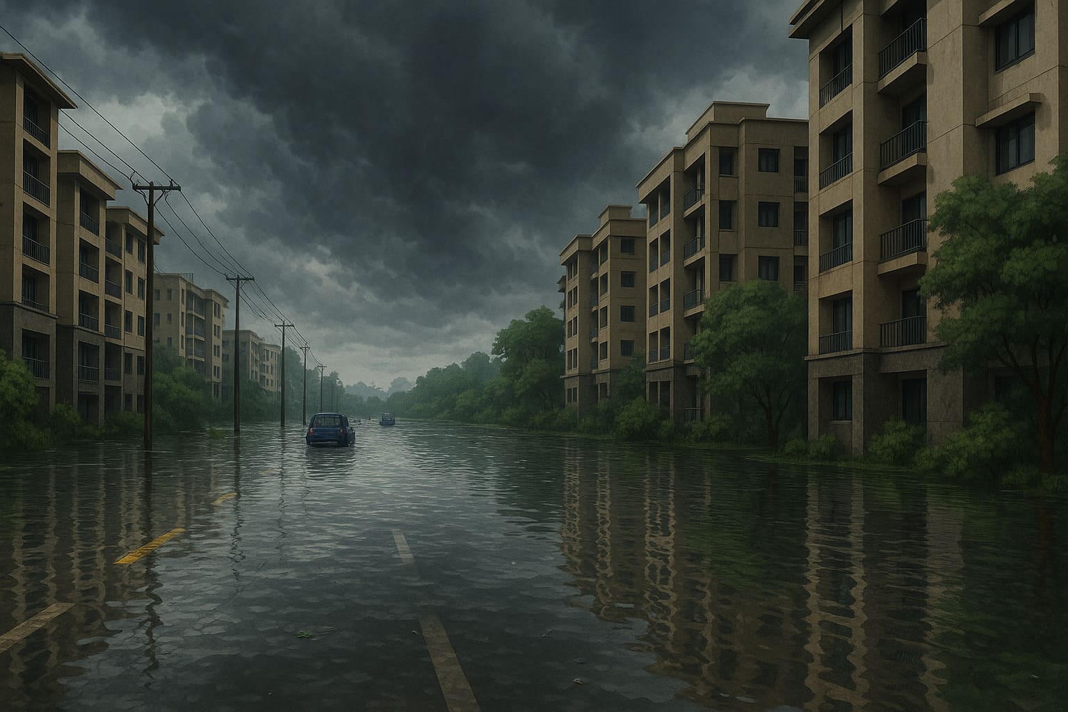
Chennai’s rapid urbanisation has made certain neighbourhoods extremely vulnerable to flooding during monsoons. Areas built over ancient water bodies, marshlands, and drainage channels tend to flood quickly even with moderate rainfall.
Using historical flood records, hydrology insights, OpenStreetMap (OSM) datasets, and tools like Verified.RealEstate’s Flood Inundation Finder, we can clearly identify the neighbourhoods that face recurring inundation every monsoon.
For homebuyers, tenants, and investors, understanding the flood profile of each locality is no longer optional — it’s essential.
🌊 Major Flood-Prone Belts Identified Across All Datasets
Comprehensive analysis of hydrology layers + OSM flood data + real-time community mapping + vulnerability studies reveals the same consistent high-risk corridors:
1️⃣ Chennai Coastline Belt
From Ennore → Thiruvanmiyur → ECR, the coastal strip is highly vulnerable due to low elevation, cyclone landfall impact, and storm surges.
2️⃣ Adyar River Basin
Areas around Adyar, Saidapet, Nandambakkam, Guindy, Kotturpuram, Jafferkhanpet flood when the river swells beyond its carrying capacity.
3️⃣ Cooum River & Buckingham Canal Corridor
The Cooum belt — Egmore, Anna Nagar, Choolaimedu, Vyasarpadi, Wimco/Vimco Nagar — repeatedly shows stagnation and canal backflow.
4️⃣ OMR / ECR Wetland Corridor
One of the most consistently marked high-risk zones across all maps:
- Siruseri
- Navalur
- Sholinganallur
- Semmencheri
- Perumbakkam
- Karapakkam
This zone shows deep blue flood markings in real-time and vulnerability datasets.
5️⃣ Velachery / Medavakkam / Perungudi Belt
These neighbourhoods lie within the Pallikaranai Marsh Basin, showing frequent and prolonged water stagnation.
6️⃣ North Chennai Industrial Stretch
Zones including Manali, Madhavaram, Wimco Nagar flood due to low-lying industrial terrain and canal overflow.
7️⃣ Pallikaranai Marsh Region
A natural flood sink that receives runoff from multiple directions.
Surrounding areas:
- Pallikaranai
- Semmencheri
- Perumbakkam
- Velachery
- Medavakkam
all fall under Very High Flood Risk categories.
📍 Area-wise Breakdown of Flood-Risk
Originally a massive marshland, now urbanised, causing:
- Rapid waterlogging
- Backflow from surrounding lakes
- Overflow from Velachery waterways
1️⃣ Pallikaranai – Extremely High-Risk Wetland Zone
👉 Risk Category: Very High
2️⃣ Mudichur – Adyar River Overflow Corridor
Low-lying, directly affected when the Adyar river rises.
- First to flood in past events (2015–2023)
- Tambaram, Perungalathur also impacted
👉 Risk Category: Very High
3️⃣ Siruseri & Navalur – OMR Lake Interconnectivity Zone
Flooding caused by backflow from Thalambur–Sithalapakkam lakes.
- Gated communities repeatedly impacted
- Drainage network incomplete
👉 Risk Category: High → Very High
4️⃣ Semmencheri – Between Marsh & Wetlands
This zone sits between Pallikaranai marsh and Perumbakkam wetlands.
- Heavy runoff from OMR
- Frequent isolation during cyclones
👉 Risk Category: Very High
5️⃣ Perumbakkam – Wetland Drainage Zone
Floods even during moderate rain due to:
- Old water channels beneath developments
- Marsh overflow
- Nearby lakes releasing water
👉 Risk Category: Very High
6️⃣ Vimco Nagar (North Chennai) – Canal-Stagnation Belt
Part of the Buckingham Canal corridor.
- Chronic stagnation
- Canal overflow during monsoon
👉 Risk Category: High
🌍 Aquifer Zones Are Critical for Flood-Risk Evaluation
Flooding is not just about surface water — it is equally about how water behaves underground. Many of Chennai’s most flood-prone areas, including the Pallikaranai marsh region, OMR wetlands, Velachery basin and Perumbakkam–Semmencheri corridor, sit on aquifer-bearing land that once allowed deep natural percolation.
When these aquifers are obstructed by construction, the ground loses its ability to absorb rainwater, resulting in:
- Faster surface flooding
- Longer stagnation
- Higher environmental vulnerability
📌 An aquifer is an underground layer of water-bearing rock or soil that naturally stores groundwater.
🛠️ Tools to Check Flood and Groundwater Safety Before Buying
1️⃣ Flood Inundation Finder — Verified.RealEstate
A powerful tool to verify whether a property lies in:
- A historical flood zone
- A waterlogged street
- High-risk or very-high-risk basin
2️⃣ Aquifer Zone Check — Verified.RealEstate
It is an essential evaluation tool. It identifies aquifer protection areas, groundwater sensitivity, and regions where natural hydrology has been altered — providing another critical layer of safety analysis for buyers.
Not like earlier times, now after The Tamil Nadu government, through the GCC and WRD, has initiated several measures to mitigate severe water logging in Thoraipakkam, particularly focusing on improving drainage connectivity to address water logging.